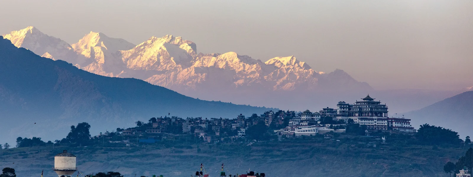
Everest Base Camp Connectivity 2026: Signal by Altitude from Lukla to Base Camp
The Everest Base Camp trek is one of the most written-about journeys in adventure travel, and yet the connectivity dimension of the experience remains surprisingly underreported in mainstream travel guides. Most trekkers arrive at Lukla with assumptions about connectivity that range from "I will be completely offline for the whole trek" to "I have seen Instagram posts from Base Camp so there must be signal." The reality sits between these extremes in a nuanced way that varies by altitude, weather, time of day, and network choice. Understanding the actual connectivity picture along the route helps with practical planning, with family communication logistics, and with deciding how much emergency backup communication investment is appropriate for your specific trek configuration.
The Trail Section by Section
Lukla, at 2,860 metres, is the gateway to the Khumbu and has both Ncell and NTC 4G coverage. The Tenzing-Hillary Airport and the main Lukla street are properly connected, and this is the last place for a comfortable large-file download, software update, or video call before ascending into the more variable coverage zones above. Trekkers departing on the morning trail should take fifteen minutes before leaving to download offline maps for the full route, back up photos to cloud storage, and send any pending communications. The Lukla to Namche Bazaar section involves a full day of trekking through Phakding and the Dudh Koshi valley, with signal present in Phakding village and the lower valley but dropping in the canyon sections between villages where terrain blocks signal. Arrival at Namche Bazaar, the busy commercial hub of the Khumbu at 3,440 metres, brings a return to consistent 4G that surprises most first-time trekkers who did not expect urban-grade connectivity at a Himalayan mountain town.
Namche Bazaar deserves specific attention as a connectivity hub. Both Ncell and NTC maintain strong 4G throughout the town, which has developed into a full-service trekker facility with bakeries, gear shops, medical facilities, and multiple internet cafes and guesthouses with WiFi. The acclimatisation day typically spent in Namche is an excellent opportunity to back up photos from the first two days, have a proper video call with family on lodge WiFi, and download offline maps and weather data for the sections above. Trekkers who are running low on data or need to manage their eSIM plan have lodge WiFi as a full alternative to mobile data during the Namche stay.
| Location | Altitude | Ncell Signal | NTC Signal | Lodge WiFi |
|---|---|---|---|---|
| Lukla | 2,860m | 4G strong | 4G strong | Yes, good quality |
| Phakding | 2,610m | 4G in village | 4G in village | Yes, satellite |
| Namche Bazaar | 3,440m | 4G strong | 4G strong | Yes, best quality on trail |
| Tengboche | 3,860m | 3G/4G variable | 4G more stable | Yes, satellite |
| Dingboche | 4,410m | Weak 3G | 3G intermittent | Yes, slow satellite |
| Lobuche | 4,940m | Edge/2G brief | 3G brief connections | Limited |
| Gorak Shep | 5,164m | Very weak | Intermittent 3G | Limited / unreliable |
| Everest Base Camp | 5,364m | Brief connections | Brief 3G connections | None (tent camp only) |
| Kala Patthar | 5,545m | Rare brief signal | Rare brief signal | None |
Above Tengboche: Managing Expectations
Tengboche at 3,860 metres marks the transition from reliable to variable connectivity on the EBC trail. The monastery and surrounding lodge area has Ncell signal that varies between 3G and 4G depending on atmospheric conditions, time of day, and cloud cover. NTC performs somewhat better here due to dedicated infrastructure investment, but neither network provides the consistent connectivity of Namche. The practical approach at Tengboche is to use the lodge WiFi for essential communications and treat mobile data as a supplement for moments when WiFi is not accessible, rather than relying on mobile data as the primary connection.
Dingboche at 4,410 metres, where most itineraries include a second acclimatisation day, has signal that can be characterised as present but unreliable. Brief connections to Ncell or NTC occur, sufficient for sending a check-in message to family or queuing a few outgoing WhatsApp messages, but sustained data sessions are not realistic. The lodge WiFi at Dingboche, typically satellite-based, provides the more reliable option for actual data tasks and should be used for anything important. Above Dingboche on the approach to Lobuche and then Gorak Shep, mobile signal becomes rare enough that it should be treated as a bonus when it occurs rather than a planning assumption. The connection event that many EBC trekkers describe, a brief flash of NTC signal at Gorak Shep that allows a precious message home, is real but not reproducible on demand.
At Everest Base Camp
Connectivity at Everest Base Camp is the subject of considerable social media mythology, with accounts ranging from "I had perfect 4G and posted a reel from Base Camp" to "there is no signal at all up there." Both are partially true in a way that the full picture explains. During the spring and autumn climbing seasons when hundreds of mountaineers and their expedition teams are at Base Camp, commercial satellite communication infrastructure is deployed by expedition operators, some of which provides incidental WiFi access for trekkers at the camp perimeter. Outside climbing season, this infrastructure is absent. NTC has a tower installation effort in the Khumbu that provides brief signal events at or near Base Camp, but these are intermittent rather than reliable, and arriving at Base Camp expecting to make a video call or post to Instagram should be treated as an aspiration rather than a plan. The experience of sending a single text message that says "I made it to Base Camp" after waiting for a moment of signal is the realistic connectivity moment that most trekkers achieve. Anything beyond that is bonus territory.
Emergency Communication on the EBC Trail
The EBC trail has one of the most developed emergency response systems of any trekking route in the world, combining helicopter evacuation capability from Lukla and the Khumbu, the Himalayan Rescue Association clinic at Pheriche, and Ncell and NTC coverage along the lower trail that enables emergency calls to Kathmandu and international emergency contacts. For the lower trail from Lukla to Tengboche, mobile connectivity is adequate for emergency communication. Above Tengboche, the combination of intermittent coverage and the genuine medical emergencies that occasionally occur at altitude makes supplementary communication planning worthwhile. Garmin inReach and SPOT satellite communicators provide global two-way messaging and SOS capability that does not depend on any terrestrial network, and for trekkers on solo itineraries or those with known cardiovascular concerns or altitude sensitivity, the addition of a satellite communicator is a reasonable safety investment.
Pre-Trek Kathmandu Downloads: The Full Checklist
The connectivity preparation that happens in Kathmandu the evening before the Lukla flight determines the quality of your digital experience on the entire EBC trail. The checklist for this preparation session, conducted on hotel WiFi rather than mobile data, begins with Maps.me offline packs for the Khumbu region and Solukhumbu district covering all route variants including the Gokyo Lakes option if relevant. It continues with Google Maps offline area for the Kathmandu Valley for return days, weather apps pre-loaded with mountain forecasts through Windy or Mountain Forecast which specifically covers high-altitude weather relevant to pass days and summit mornings. Emergency contact numbers for your trek operator, the Himalayan Rescue Association at Pheriche, and the CIWEC Clinic in Kathmandu should be saved in the phone's contact list rather than relying on email access. Any permit PDFs from TIMS and Sagarmatha National Park should be downloaded as files rather than email attachments. This thirty-minute session on Kathmandu hotel WiFi takes the pressure off mobile data for the entire trail duration.
The Helicopter Evacuation Booking Reality
Helicopter evacuation is the primary emergency response for serious medical events on the EBC trail, and the booking process involves a mobile phone call or WhatsApp message at a moment when connectivity may already be compromised. Altitude sickness events requiring evacuation tend to occur at or above Dingboche, precisely the zone where mobile coverage is intermittent. Reputable Kathmandu helicopter operators including Simrik Air, Karnali Heli, and Tara Air have WhatsApp contacts for emergency booking, and the trekking permits and TIMS card that all registered trekkers carry include emergency contact protocols. Having these numbers saved locally in the phone's contact list before losing signal above Namche, rather than relying on being able to search for them at the moment of need, is the connectivity preparation that has the highest potential consequence on the EBC trail specifically.
Travel insurance with helicopter evacuation coverage is a separate but related consideration. Most travel insurance policies for Nepal trekking require notification to the insurance emergency line before authorising a helicopter evacuation, and reaching that number requires either mobile connectivity or a satellite communicator. Saving the insurance emergency line contact locally, and verifying that the number is reachable via WhatsApp call (which most international insurance lines accept), should be part of the same pre-trek preparation session as the offline map downloads.
Photography and Connectivity: The EBC Trail Specific Challenge
The EBC trail is one of the most photographed trekking routes in the world, and the volume of images that even a casual photographer accumulates over two weeks exceeds the local storage capacity of many smartphones. Managing photography storage without cloud access for the upper trail sections creates a specific challenge. The solution adopted by most experienced EBC trekkers involves a daily culling routine at each lodge stop: reviewing the day's shots during dinner, deleting duplicates and failed exposures, and keeping the best twenty to thirty images from each day. This culling keeps storage requirements manageable and produces a better final collection than saving everything for post-trek editing. Lodge WiFi at Namche and occasionally at higher stops provides the cloud backup capability when available. Above Tengboche, local storage management becomes the only option until the next lodge with satellite WiFi.
The Permit and Registration Digital Workflow
Nepal's trekking permit system requires two documents for the EBC trail: a TIMS card (Trekkers' Information Management System) and a Sagarmatha National Park entry permit. Both are available at the Nepal Tourism Board office in Kathmandu and at the Monjo park entrance on the trail. Online pre-registration through the NTB portal is available and reduces the office queue time, with the permit available as a PDF download after payment. Having working connectivity in Kathmandu before the Lukla flight facilitates this online process, and having the PDF saved locally on the phone provides a digital copy that checkpoint staff generally accept alongside or instead of the physical permit. This digital workflow, facilitated by a working eSIM from the moment of landing, reduces the administrative overhead of the pre-trek Kathmandu days in a way that consistently earns appreciation from trekkers who have experienced the pre-digital alternative.
Get Your EBC Trek eSIM
Ncell-based eSIM plans for Nepal, activated before you board the Lukla flight.
FAQ
Is there mobile signal at Everest Base Camp?
Brief intermittent connections exist at Base Camp on NTC and occasionally Ncell. A single text message home is achievable with patience. Sustained data sessions, video calls, or social media posting from Base Camp are not reliable.
Where is the last place for reliable 4G on the EBC trail?
Namche Bazaar at 3,440 metres has consistent 4G from both Ncell and NTC and excellent lodge WiFi. Above Namche, Tengboche is the last location with regular if variable connectivity before coverage becomes intermittent.
Should I carry a satellite communicator for the EBC trek?
For solo trekkers or those with known health concerns: yes. For guided group treks with reputable operators: your guide likely carries a satellite communicator and emergency protocol is their responsibility. Ask before booking.
What offline maps should I download for the EBC trek?
Maps.me offline pack for Khumbu and Solukhumbu district is the most comprehensive for trail navigation. Download in Kathmandu the evening before your Lukla flight, on hotel WiFi.