Dhaka eSIM Guide 2026: Networks, Navigation, and Connectivity Tips
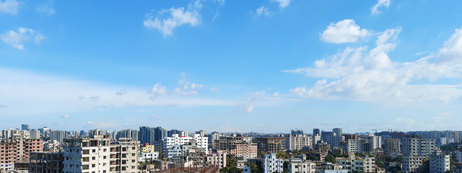
Dhaka is one of the most intense urban environments on Earth, a city of 22 million people squeezed into 300 square kilometres of flat delta land where traffic can reduce a three-kilometre journey to an hour-long ordeal. Navigating this city effectively requires a working mobile data connection that is more genuinely functional, rather than merely convenient, than in most Asian capitals. Ride-hailing apps are not a luxury but a practical necessity for avoiding chaotic unmetered taxi negotiation. Navigation apps are essential because Dhaka's street layout does not correspond to any intuitive mental map that a first-time visitor could form quickly. The good news: Dhaka's mobile network, built to serve one of the world's most densely populated cities, is correspondingly dense and capable.
Network Performance by District
Gulshan and Banani in the north, home to the embassy district, international hotels, and most multinational company headquarters, have the best mobile network performance in Dhaka. Both Grameenphone and Robi maintain dense 4G infrastructure in this zone, with download speeds typically measuring 35 to 60 Mbps on either network during business hours. This is where most international visitors spend the majority of their Dhaka time, and the connectivity here is genuinely urban-grade. Dhanmondi, the middle-class residential district popular with longer-term visitors, has comparable 4G performance. Motijheel, the central business district, has strong Grameenphone 4G that can slow during peak business hours when concentrated corporate users load towers heavily. Old Dhaka around Sadarghat has 4G coverage but with more variation than the planned commercial districts. Dense building fabric and narrow lanes create signal shadows where 4G drops to 3G briefly.
Ride-Hailing: The Essential Dhaka Apps
Dhaka's ride-hailing ecosystem is dominated by Pathao, a Bangladeshi startup that operates motorcycle taxis, car rides, and food delivery across the city. Pathao's motorcycle taxis, known as bike rides, are the fastest way to navigate Dhaka's traffic for solo travellers, weaving between lanes where cars are gridlocked. Shohoz is the second major operator. Both apps require a continuous data connection for location tracking and fare calculation. Having a working eSIM from arrival means Pathao can be used from the airport taxi rank, where the apps typically find drivers within two to five minutes. The alternative of negotiating with unmetered taxis, which involves fare discussions that visitors consistently find difficult without local price knowledge, is substantially less predictable.
| District | Mobile Signal | WiFi Quality | Best For |
|---|---|---|---|
| Gulshan / Banani | GP/Robi 4G excellent | Excellent in hotels and cafes | Business meetings, coworking, dining |
| Dhanmondi | GP 4G strong | Good in restaurants and cafes | Longer stays, cultural sites, food |
| Motijheel (CBD) | GP 4G strong (slower peak hours) | Good in offices and hotels | Business transactions, banking |
| Old Dhaka (Sadarghat area) | GP 4G variable | Limited in tourist areas | Cultural exploration; use offline maps |
| Mirpur | GP 4G adequate | Residential; limited tourist WiFi | Local residential experience |
| Uttara (near airport) | GP/Robi 4G good | Good in hotel zone | Airport area stays and transit |
Navigation in Dhaka
Google Maps in Dhaka covers major roads and most tourist destinations accurately. The challenge is that traffic is so dynamic that the fastest route calculation may not account for gridlock events that close a junction for thirty minutes. Pathao's driver navigation, using local knowledge of which lanes are passable at which hours, often produces faster journeys than following Google Maps directions for a first-time visitor. For pedestrian navigation in Old Dhaka where vehicle access is limited, Maps.me provides more detailed lane-level mapping in some historic areas. Download the Dhaka offline pack in Maps.me before exploring areas away from main tourist infrastructure, as variable 4G in Old Dhaka makes offline map reliability more important than in the consistently connected Gulshan zone.
Cafes and WiFi for Working in Dhaka
Dhaka's cafe scene has developed in Gulshan and Banani over the past five years, with multiple specialty coffee shops offering reliable WiFi alongside the traditional Bangladeshi milk tea culture. Cafes in the Gulshan-2 circle area, the Banani DOHS, and the Road 11 corridor in Dhanmondi offer laptop-friendly environments with WiFi measuring 15 to 40 Mbps. Several coworking spaces operate in Gulshan and Dhanmondi with dedicated fibre connections, meeting rooms, and day pass rates of approximately BDT 500 to 1,500 (USD 4.50 to 14). Hotel business centres in Gulshan and Banani offer day-use access with WiFi for non-guests, providing a convenient option with food service facilities.
Key Attractions and Connectivity
Lalbagh Fort in Old Dhaka has Grameenphone 4G in surrounding streets and within the fort grounds, adequate for location sharing and photography. Ahsan Manzil on the Buriganga riverbank has similar coverage. Sadarghat boat terminal has 4G that can be slow during the busiest evening peak when thousands of travellers use the terminal simultaneously. The National Museum in Shahbagh has good connectivity throughout the surrounding area. For all of these sites, a pre-downloaded offline Maps.me pack for the Dhaka area serves as reliable navigation backup when active data slows in dense areas.
Power and Charging in Dhaka
Bangladesh uses type C, D, G, and K electrical outlets at 220V 50Hz. The variety of socket types reflects colonial heritage and post-independence development from multiple sources. Most Dhaka hotels in the Gulshan and Dhanmondi tourist areas have adaptor availability and UPS backup that maintains power during brief outages. Power outages, while less frequent than a decade ago, still occur occasionally in residential and some commercial areas. The combination of Dhaka's heat, reaching 35 to 40 degrees Celsius from April through June, and continuous navigation and ride-hailing app use drains smartphone batteries faster than in milder climates. A 10,000mAh power bank is practical equipment rather than optional for full-day Dhaka exploration.
Cyclone and Weather Alert Connectivity
Bangladesh's position in the Bay of Bengal cyclone belt makes weather monitoring a genuine safety consideration for visitors arriving between October and November or April and May. Digital alerts through government warning systems reach mobile users automatically in affected areas when the network is active. The Bangladesh Meteorological Department app and international weather services including Windy provide cyclone tracking accessible via Grameenphone 4G. Having a working data connection to receive evacuation advisories and monitor storm tracks is genuinely safety-relevant in a way that exceeds the casual convenience of weather checking in most travel destinations. Plan accordingly when visiting during cyclone-risk months, including having offline access to accommodation evacuation procedures and local emergency contacts saved locally.
Navigating Old Dhaka: The Offline Maps Case
Old Dhaka, concentrated around Sadarghat, Chawk Bazaar, and the medieval commercial lanes between them, is the most navigationally complex part of the city and also the area where mobile signal is most variable. The density of historic buildings, narrow lanes blocking line-of-sight to towers, and the sheer concentration of humanity and electronic devices in this area all contribute to intermittent 4G that drops to 3G in specific corridors. For visitors spending significant time exploring Old Dhaka's heritage sites including Lalbagh Fort, Ahsan Manzil, the Armenian Church, and the traditional bazaars of Chawk Bazaar and Shankhari Bazaar, pre-downloading a Maps.me offline pack for Dhaka before leaving the Gulshan hotel provides navigation that does not depend on active network connection. The offline pack is approximately 150MB and downloads in under three minutes on Gulshan hotel WiFi, making it trivial to obtain and consequential when the 4G drops at an inconvenient moment in a medieval lane.
Dhaka Transport Beyond Ride-Hailing
Beyond Pathao and Shohoz, Dhaka's transport options include CNG auto-rickshaws for negotiated fixed-rate rides, human-powered rickshaws for short distances in less-trafficked areas, and the Dhaka metro rail that opened its first line in 2022 connecting Uttara in the north to Agargaon in the middle of the city. The metro is the one Dhaka transport mode that does not require a data connection for navigation or booking, operating on a fixed-route basis with station ticket machines. For international visitors staying in the Gulshan and Banani area who need to reach central Dhaka efficiently, the metro's Agargaon station provides access to the central government district without the traffic unpredictability of road transport. Pathao and Shohoz remain the default for most Dhaka movement given the extensive route coverage that the current metro line cannot match, but the metro is worth knowing about for specific corridor journeys where it dramatically outperforms road transport.
Language, Communication, and Data
Bengali (Bangla) is the national language of Bangladesh, with a script that most international visitors cannot read without preparation. This creates specific navigation and service challenges that mobile data helps resolve in concrete ways. Google Translate's camera mode, which uses the phone camera to translate text in real time, reads Bengali script and translates menus, signs, and product labels into English when a stable data connection feeds the cloud translation engine. Downloading Google Translate's Bengali offline pack on hotel WiFi before Old Dhaka exploration provides basic translation capability even when data is limited in the narrower lanes. The camera translation in Bengali is imperfect but good enough to identify food categories on menus, read street signs that have no Latin character alternative, and interpret basic notices at heritage sites. This is not a capability that requires high bandwidth, functioning on the intermittent 3G that even Old Dhaka's variable coverage provides, making it one of the most practically useful data applications for first-time Dhaka visitors unfamiliar with the script.
Dhaka rewards visitors who arrive with the right tools configured: Pathao registered, Maps.me downloaded, WhatsApp contacts saved, and a working Grameenphone 4G eSIM active from the aircraft door. The city's intensity is its defining characteristic, but the mobile infrastructure underneath that intensity is more capable than first impressions of Bangladesh might suggest. Treating Dhaka as a well-connected city that happens to be logistically challenging rather than a poorly connected city that is also challenging produces a more accurate expectation and a more productive on-ground experience.
Dhaka Airport Arrival: The First Minutes
Hazrat Shahjalal International Airport's arrivals hall processes international passengers through a sequence that takes 30 to 60 minutes from aircraft door to exit under normal conditions: aircraft exit corridor, immigration queues, baggage claim, and customs clearance. A travel eSIM pre-installed and configured before departure typically shows Grameenphone signal before the immigration queue, allowing the WhatsApp message to the awaiting driver or guesthouse that the airport pickup coordination depends on to send while still in the terminal. This immediate connectivity, before any airport counter interaction and before the sometimes-lengthy immigration queue, provides practical value on every Bangladesh arrival rather than merely theoretical convenience. The immigration queue itself, where smartphone use is typically restricted, is the only Dhaka arrival phase where connectivity has no immediate practical application. From customs exit onward, having a working Grameenphone connection transforms the chaotic arrivals hall exit, where taxi drivers call and hold signs simultaneously, from a navigation challenge into a simply managed pickup confirmation via WhatsApp.
Get Connected in Dhaka
Compare Bangladesh eSIM plans with Grameenphone coverage across all Dhaka districts.
FAQ
Which network is best in Dhaka?
Both Grameenphone and Robi provide excellent 4G across Gulshan, Banani, and Dhanmondi. Robi is marginally faster at peak times. Grameenphone is more consistent in Old Dhaka and peripheral districts.
What ride-hailing apps should I use in Dhaka?
Pathao is the most widely used, offering both motorcycle and car rides. Shohoz is a strong alternative. Register both before arrival for immediate use from the airport.
Does Google Maps work in Dhaka?
Well for major landmarks and main roads. Less reliable for real-time traffic routing in the most congested conditions. Pathao driver navigation often outperforms Google Maps for actual route efficiency.
Where is the best cafe WiFi for working in Dhaka?
Gulshan-2 circle area and the Banani DOHS have the best concentration of laptop-friendly cafes. Dhanmondi Road 11 and coworking spaces in Gulshan are strong alternatives.