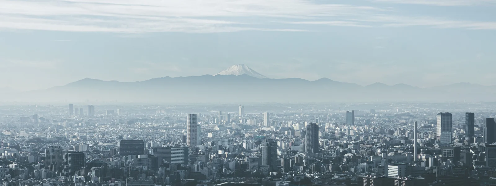
Mount Fuji climbing: eSIM connectivity guide
Mount Fuji at 3,776 metres is Japan's highest peak and one of Asia's most iconic climbs. The Yoshida Trail on the north side is the most popular climbing route, ascending from the 5th Station at approximately 2,300 metres through seven mountain huts to the summit crater rim. Mobile connectivity follows the altitude: good at the 5th Station, progressively weaker on the upper mountain, variable at the summit.
Fuji climbing season runs from early July to early September. In 2024, Yamanashi prefecture introduced crowd control measures including a fee and gate closure on the Yoshida Trail at specific times. These restrictions, continuing in 2026, affect how climbers access the mountain and when connectivity is most needed.
Coverage by altitude: the Fuji connectivity map
Mount Fuji's mobile coverage profile follows a predictable altitude gradient. The 5th Station bus terminals, where climbers park vehicles, take buses from Kawaguchiko, and begin the ascent, have strong Docomo and au 4G. This is the last reliable connectivity point before the upper mountain. The commercial facilities at the 5th Station, including restaurants, equipment rental, and the visitor centre, all have WiFi that supplements mobile data for the preparation phase before the climb.
The Yoshida Trail above the 5th Station has Docomo coverage at intervals between the mountain huts up to approximately the 8th Station. Huts including Taishi-kan (6th station), Tomoekan (7th), and the large hut clusters around the 8th and 8.5th stations have some connectivity from Docomo infrastructure installed to serve the mountain's permanent facilities. Between huts on the exposed volcanic scree slopes, coverage is intermittent and altitude-dependent. Above the 8.5th station approaching the summit crater, coverage becomes sparse. At the summit crater rim at 3,776 metres, Docomo has signal from specific positions, particularly on the south and east rim facing the main population centres below, but the signal is not consistent across the full crater rim circuit.
SoftBank is notably weaker than Docomo above the 5th Station on Mount Fuji. Travellers on SoftBank-only eSIM plans should expect significantly less coverage above the 6th Station. Au by KDDI provides intermediate coverage between Docomo and SoftBank on the upper mountain. For any climb that prioritises maintaining connectivity for safety communication and navigation, Docomo is the essential operator choice.
| Location | Altitude | Docomo coverage | SoftBank coverage |
|---|---|---|---|
| Yoshida 5th Station | ~2,300m | Strong 4G | Strong 4G |
| 6th to 7th station section | 2,500 to 2,900m | Intermittent 4G | Weak to absent |
| 8th station cluster | ~3,100m | Intermittent 4G at huts | Very weak |
| 8.5th station to summit approach | 3,300 to 3,700m | Sparse, gap-prone | Essentially absent |
| Summit crater rim (Kengatamine) | 3,776m | Present at specific positions | Unreliable |
The 2024 crowd restrictions and their 2026 implications
In 2024, Yamanashi prefecture introduced a series of crowd management measures on the Yoshida Trail in response to overcrowding, safety incidents, and the viral phenomenon of tourists climbing in inappropriate conditions. The measures, continuing and potentially extended in 2025 and 2026, include a gate on the Yoshida Trail between the 5th Station and 6th Station that closes at specific times, typically at night, preventing the popular overnight bullet climb that sees climbers departing at midnight to reach the summit for sunrise. An entry fee was also introduced.
The implications for connectivity planning are specific. The gate closure means climbers must either ascend during daylight in a single push or stay overnight at mountain huts to reach the summit for sunrise. Hut accommodation requires advance booking, and booking huts requires internet connectivity before departure, ideally in the city well before the climb day. Checking the current gate closure schedule, fee amounts, and any updated 2026 restrictions requires accessing the Yamanashi or Shizuoka prefecture official Fuji climbing websites, which works best on hotel or home WiFi rather than on mountain connectivity.
The practical connectivity preparation for a Fuji climb in 2026 includes: booking mountain huts in advance through their official websites or booking platforms from city WiFi, downloading the Fuji climbing trail maps offline, saving the Kawaguchiko or Subashiri 5th Station bus schedule offline, confirming the current gate restrictions and fees on the official websites before departure, and loading adequate credit on the Suica card for the bus to the 5th Station from Kawaguchiko or Fujisan Station.
Emergency communication on the mountain
Mount Fuji has a mountain rescue infrastructure that includes emergency services accessible by phone, rescue stations at the major mountain huts, and a coordination system for climbers in distress. Emergency calls in Japan use 110 (police) or 119 (fire and ambulance including mountain rescue) and operate on a lower signal threshold than data connections, meaning voice calls may be possible at altitudes where mobile data is insufficient. Docomo's mountain coverage makes it the most reliable operator for emergency communication on Fuji, though no operator guarantees coverage at every point on the upper mountain.
The mountain huts staffed throughout the climbing season carry emergency radios and maintain contact with valley rescue services. Climbers in difficulty can reach hut staff for coordination even if mobile connectivity is insufficient. This means the hut infrastructure provides a connectivity layer that supplements and partially compensates for mobile network limitations above 3,000 metres. Nonetheless, registering the climb with the Yamanashi or Shizuoka prefecture mountain registration system before ascending is a standard safety practice that requires internet access and is best completed from the 5th Station WiFi or city accommodation before departure.
Data planning for a Fuji climb
A Fuji climb day trip or overnight hut stay has specific pre-climb data needs and minimal on-mountain data needs. The pre-climb phase, handled from city accommodation or the 5th Station, includes: confirming hut booking, checking weather forecasts for summit conditions, downloading trail maps offline, and reviewing the descent route. This preparation phase uses 50 to 200 MB of data and is ideally completed before leaving the last reliable connectivity point.
On the mountain itself, data use is minimal because the connectivity is limited and the climbing task requires full attention. The summit sunrise moment is a significant photography event that generates large files on modern smartphones, but uploading from the summit is unreliable regardless of operator. The practical post-climb upload workflow is the same as for any other connectivity-variable Japan experience: collect the photography on the mountain, upload from the hotel or accommodation on return to the city. The bus ride from the 5th Station back to Kawaguchiko restores normal connectivity and provides the first reliable upload opportunity after the summit.
The 5th Station: preparation hub for the climb
The Fuji 5th Station serves as the primary preparation hub for climbers and deserves deliberate connectivity time before ascending. WiFi is available at the visitor centre and main facilities. Docomo and au 4G are strong throughout the 5th Station area. The tasks worth completing at the 5th Station with full connectivity: final weather check for the next 12 to 24 hours, informing contacts of the climb timeline and expected return, confirming mountain rescue registration if not already done, downloading any offline content needed for the mountain hut overnight, and charging devices fully using the facilities available before the ascent where power sources become scarce.
Docomo is the essential operator for any meaningful mountain coverage above the 5th Station. Complete all preparation at the 5th Station or city accommodation before ascending. The summit has Docomo signal at specific positions but is unreliable for sustained use. Upload summit photography from city accommodation on return. Book mountain huts in advance using city WiFi, not mountain connectivity. The 2026 trail restrictions require checking official prefecture websites before the climb day.
Plans for Japan
Japan eSIM plans
Prices in USD. Instant QR activation. Pick your data, land connected.
FAQ
Is there mobile signal on Mount Fuji?
At the 5th Station, strong Docomo and au 4G. Between the 6th and 8th stations, intermittent Docomo coverage at mountain huts with gaps between them. Above the 8.5th station, sparse Docomo signal. At the summit, Docomo present at specific rim positions but inconsistent. SoftBank is notably weaker than Docomo above the 6th station.
Which operator should I use for climbing Mount Fuji?
NTT Docomo is the essential operator for Mount Fuji. SoftBank shows significant coverage gaps above the 6th station. Au by KDDI provides intermediate coverage. For safety communication and trail navigation, Docomo provides the most reliable signal across the mountain's altitude range.
Are there crowd restrictions on Mount Fuji in 2026?
Yes, continuing from 2024. Yamanashi prefecture introduced gate closures on the Yoshida Trail at specific times, an entry fee, and other crowd management measures. Check the current 2026 restrictions on official Yamanashi and Shizuoka prefecture websites before planning the climb. Mountain hut booking is now required for overnight summit climbs.
Can I make emergency calls on Mount Fuji without data?
Voice emergency calls (110 for police, 119 for mountain rescue) operate on a lower signal threshold than data connections. Docomo coverage makes emergency calls possible at more points on the mountain than other operators. Mountain huts staffed throughout climbing season also maintain radio contact with valley rescue services as a backup.
When should I prepare connectivity for a Fuji climb?
At city accommodation or the 5th Station before ascending. Book mountain huts, download trail maps offline, check weather forecasts, and confirm current trail restrictions from the official websites using city WiFi or the 5th Station's facilities. The mountain itself has limited connectivity. All preparation should be complete before leaving the 5th Station for the ascent.