Rural Japan & hiking: offline guide
The most spectacular parts of Japan are often the least connected. Yakushima's ancient cedar forest. The Hokkaido backcountry above Shiretoko. The deep Iya Valley gorge in Shikoku. The remote 88-temple pilgrimage route through rural Shikoku. The Japanese Alps above 2,000 meters. All of these destinations require offline preparation and most of them require Docomo specifically. This is the guide for the Japan trip that goes beyond the Golden Route.
Rural Japan is where the coverage question matters most and where the preparation investment pays back the most. Docomo, offline maps, and the habit of downloading before you leave the city.
Coverage by remote destination
| Destination | Operator needed | Coverage reality |
|---|---|---|
| Hokkaido backcountry (Shiretoko) | Docomo | Sapporo and Kushiro: excellent. Shiretoko Peninsula World Heritage wilderness: Docomo minimal, real dead zones on trails. |
| Japanese Alps (Kamikochi, Tateyama) | Docomo | Valley floors: Docomo reasonable. High mountain routes above 2,000 m: no operator has consistent signal. |
| Tohoku mountains (Zao, Dewa Sanzan) | Docomo | Yamagata and Sendai: good. Mountain shrine routes and ridge paths: Docomo only, significant gaps. |
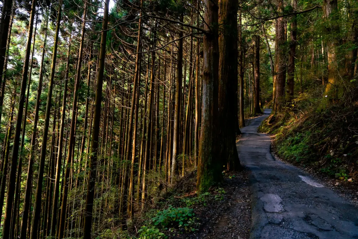
| Yakushima | Docomo | Yakushima town: basic Docomo 4G. Ancient cedar forest trails and Miyanoura peaks: no signal at all. |
| Shikoku 88 temple pilgrimage | Docomo | Temple towns: reasonable Docomo. Mountain paths between remote temples: expect extended dead zones. |
| Iya Valley (Shikoku) | Docomo | One of Japan's most dramatic valleys. Very limited signal in the gorge. Download offline before Oboke Gorge. |
| Okinawa remote islands | Docomo | Smaller Okinawa islands: Docomo minimal. Some outer islands effectively offline. |
Japan's high mountain routes, the Japanese Alps including Yari, Hotaka and the North Alps traverse, the Daisetsuzan range in Hokkaido, and Yakushima's highest peaks, are effectively offline above the tree line regardless of operator. This is a terrain and antenna physics issue, not a Docomo limitation. Plan accordingly.
The rural Japan prep checklist
- Download offline maps for every region before leaving the nearest city, not the night before in a guesthouse with shared wifi.
- Use Yamap (Japan-specific hiking app) in addition to Google Maps. Yamap has detailed trail maps specifically designed for Japanese mountain routes, with offline capability.
- Download Google Translate Japanese offline pack. Rural Japan menus, bus stops and trail signs often have no English.
- Save the phone numbers and addresses of your ryokan or mountain hut for each stage of a multi-day route.
- Share your route and expected return time with someone before entering remote terrain.
- Carry emergency contacts including the local mountain rescue center for your area.
Yamap is Japan's dominant hiking navigation app, with detailed trail maps for virtually every marked hiking route in the country, offline download capability, and GPS tracking that works without signal. It is to Japanese mountain hiking what offline Maps is to urban navigation. Download it and your specific trail area before any mountain day.
When you return to signal
Coming back from rural Japan into a town with Docomo 4G feels like turning a light back on. You will want to upload everything, check messages and confirm the next leg of the journey all at once. The burst upload on return from dead zones is where data gets consumed fastest. Budget for it or use the ryokan wifi for the heavy upload and save your eSIM data for navigation into the next section.
Plans for Japan
Japan eSIM plans
Prices in USD. Instant QR activation. Pick your data, land connected.
FAQ
Is there signal for hiking in Japan?
In most lower-elevation hiking areas near towns, Docomo provides reasonable 4G coverage. In remote backcountry, high mountain routes above 2,000 meters, deep gorges like the Iya Valley, and wilderness areas like the Shiretoko Peninsula, signal is absent regardless of operator. Download offline maps and trail navigation apps before entering any remote area.
What hiking app should I use for Japan?
Yamap is the standard recommendation for Japan hiking. It has detailed trail maps for virtually every marked route in the country, offline capability, and GPS tracking that works without mobile data. Download the app and the specific offline map area for your trails before leaving the nearest city. AllTrails and Google Maps offline are useful supplements.
Do I need Docomo specifically for rural Japan?
Yes, if your route includes remote prefectures, mountain areas, Hokkaido backcountry or smaller islands. Docomo is the sole winner for Coverage Experience in Japan (Opensignal October 2025) and operates the country's densest rural network with 290,000 active sites. KDDI and SoftBank are excellent urban networks but have measurably less rural reach where the gap matters most.
Is it safe to hike in Japan without signal?
Yes, with proper preparation. Japan's marked mountain trails are generally well maintained and clearly signed. The key safety measures are downloading offline maps and trail navigation before you start, sharing your route with someone, and knowing the local mountain rescue number. Tens of thousands of people hike Japan's remote trails safely every year with zero signal.